DRONE - UNMANNED AERIAL VEHICLES (UAV) SOLUTIONS
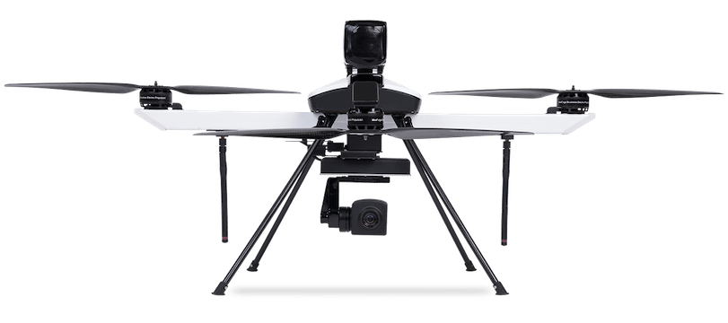
Drone
- Range (LoS): 2 – 15 km
- Endurance: 25 – 120 mins
- Ingress Protection: IP53 Rated
- Quad, Octa and Hybrid Switch
- Daylight, Night, Radiometric Thermal, Multispectral
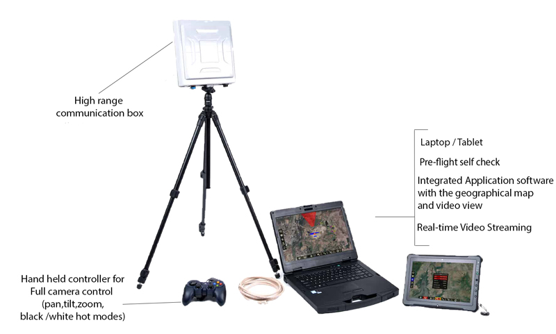
Product Portfolio
Ninja UAV
Light weight Scout
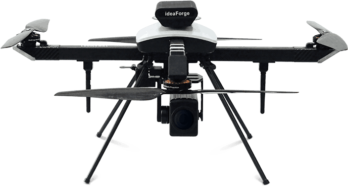
- 20-25 min Flight Time
- Over 2 km Operational Range
- 15+ MP HD Imaging Payload
- Up to 2 kg Take-off Weight
Q Series UAV
Enterprise Specialist

- Over 40 min Flight Time
- Over 4 km Operational Range
- PPK Enabled Survey Grade Mapping
- Up to 3.5 kg Take-off Weight
NETRA Pro UAV
Versatile Workhorse
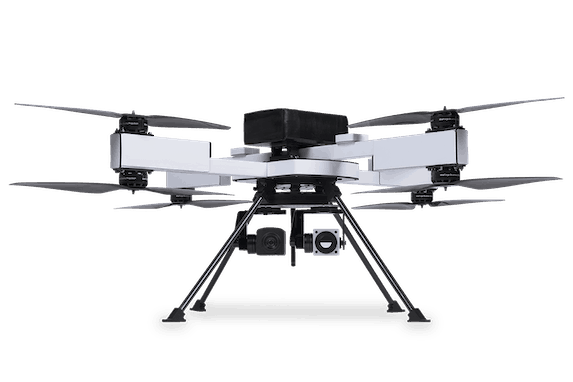
- Over 30 min Flight Time
- Over 4 km Operational Range
- Supply Drops LiDAR
- IP53 Rated for Dust and Water Resistance
NETRA V Series UAV
Endurance Champion
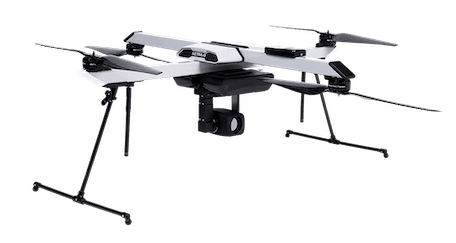
- Over 60 min Flight Time
- Over 5 km Operational Range
- HD 10x Optical Zoom 3-Axis Stabilized
- IP53 Rated for Dust and Water Resistance
Megaphone Drone
Always within Earshot
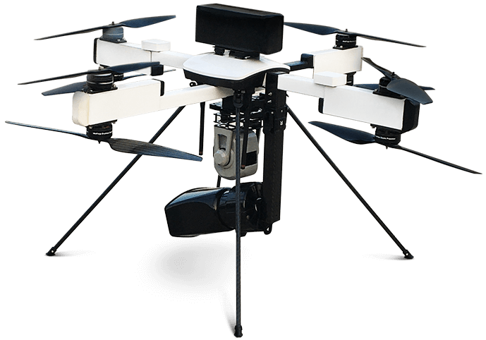
- Up to 30 min Flight Time
- Over 2 km Operational Range
- HD Camera with 10x Optical Zoom
- IP53 Rated for Dust & Water Resistance
Ryno
The Mapping Maestro
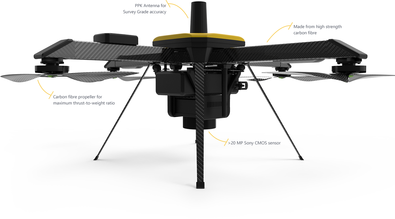
- More than 40 min Flight Time
- Up to 4 km Operational Range
- >20 Megapixel Camera
- Less than 2 kg Take-off Weight
SWITCH UAV
All Terrain Dominator
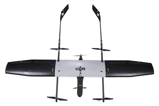
- Over 150 min Flight Time
- Up to 15 km Operational Range
- VTOL Capability
- IP53 Rated for Dust and Water Resistance
Different Types Of Drones for Disaster Management
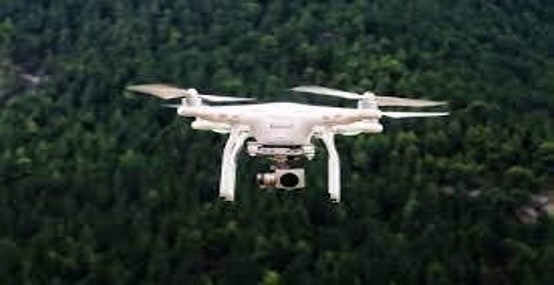
Long Range Surveillance Drone to discover the blockade, lake formation & cracks during upstream monitoring BVLOS operations close to 4- 5km. Data would be submitted to officials at the end of each days operations after Data processing & Analysis.
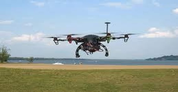
Short Range Surveillance Drone used to serve as Early warning system & an eye in the sky to support the rescue team while in duty & kept a watch out for sudden swells. This drone was intended to prevent false alarms which could stall rescue operations. The SRS Drone could also aid in assessing damage causes.
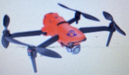
CCN Drone Communication Coordination & Navigation Drone which supported team to scale up & down Treacherous Terrain while consisting rescue missions. Reports of the daily operations would be submitted to the Commanding Officer & Officer In- charge at the end of each day.
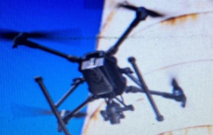
Structural Inspection Drone to access the damage to the NHPC hydro-power plant & dam. Data would be submitted to NDRF/ SDRF. Many cracks and blockades were anticipated due to the disaster. Such blockades if left undetected could lead to another deluge
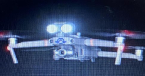
Tunnel Inspection Drone equipped with High Power LED Flashlights & Thermal Camera were planned to be deployed to search for survivors in dark places. The processed thermal images could help search for survivors trapped in the tunnels.
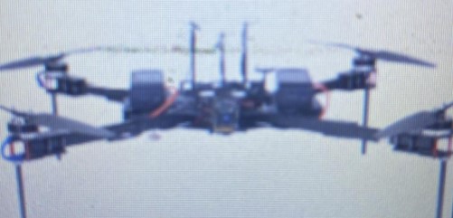
Stringing Drone which demonstrated capability to lift heavy weight cables, wires to re-establish electricity & communication was considered after the Bridge destruction caused a massive blackout of power & communication at Ground Zero.
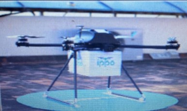
Payload Carrying Delivery Drone which was used during pandemic was considered due to the fact that this drone could serve as a quick delivery mechanism for medical & emergency supplies at geographically isolated locations.
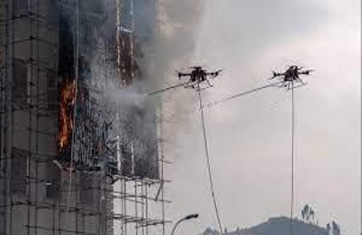
Payload Carrying fire ball and extinguisher which can be used during fire considered due to the fact that this drone could serve as a quick delivery mechanism for water & emergency supplies at geographically isolated locations.


